FREE WEBINAR ON USING SATELLITE DATA TO MODEL WATER QUALITY, APRIL 26 NOON EDT
FREE WEBINAR ON USING SATELLITE DATA TO MODEL WATER QUALITY, APRIL 26 NOON EDT
A free webinar on Wednesday, April 26, 2023 at 12:00 pm EDT will feature key insights from researchers using data from the Operational Tillage Information System (OpTIS) to help model water quality. Register here for the webinar and question-and-answer session with the panel.
Speakers during the live, hour-long "OpTIS 3.0: Unlocking Water Quality Insights" program will include:
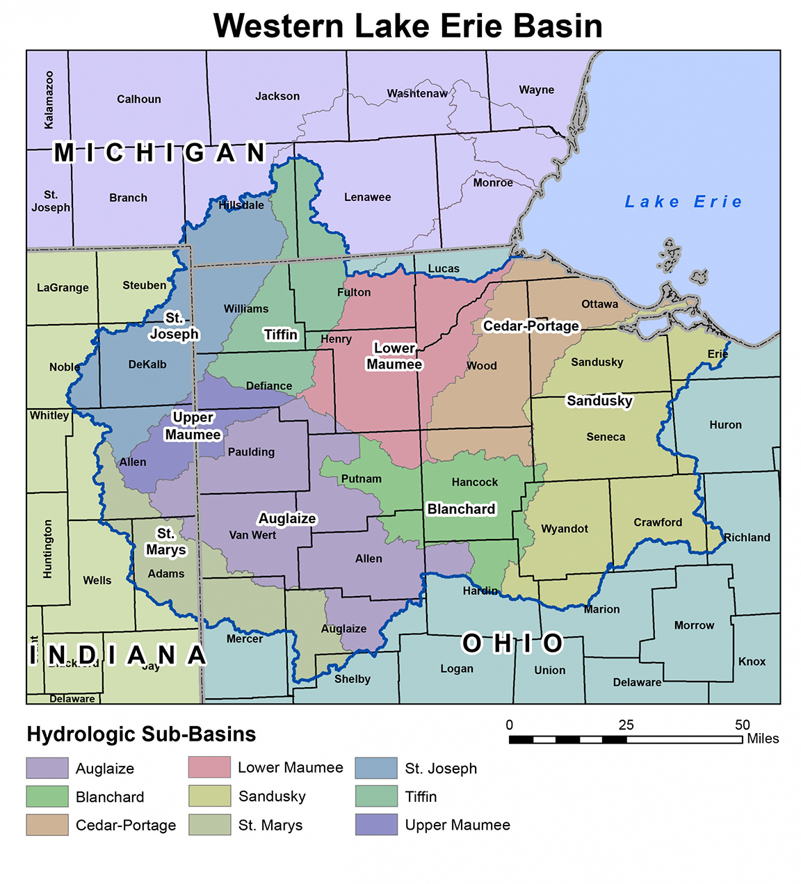
- Dr. Asmita Murumkar, The Ohio State University, using OpTIS data on tillage and cover crops in their modeling work in Ohio's Upper Scioto River watershed and Maumee basin.
- Soren Rundquist, Regrow Ag, with updates on cover crop trends from 2015 to 2021, derived from Regrow’s proprietary and recently improved OpTIS algorithm. OpTIS utilizes publicly available satellite imagery to track tillage practices and cover crop adoption around the globe.
- Dr. Dave Gustafson, Conservation Technology Information Center (CTIC), using OpTIS data to quantify the relative effectiveness of cover crops and conservation tillage at reducing phosphorous loads to Lake Erie.
Before the webinar...try OpTIS yourself! An intuitive visualization tool on the CTIC website (ctic.org/OpTIS) allows users to explore OpTIS data, zooming in on watersheds of interest and moving sliders to vary the date range they want to study.
Click here to register for the April 26 webinar. Past OpTIS webinars are archived online at ctic.org/OpTIS.