National research tools, demonstrations, and field support
to advance on-farm resources, operations, and profitability
Connect.
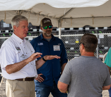
Coalition-led innovation from leading organizations that influence on-farm decisions.
Inform.
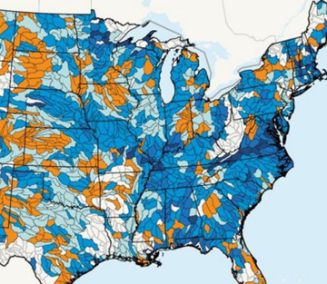
Satellite-driven data and survey instruments to measure national trends in soil health practices.
Champion.
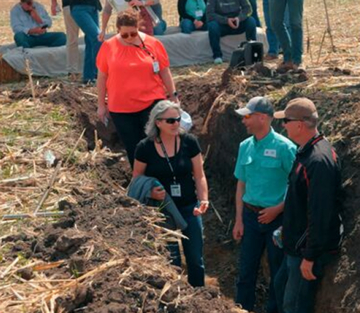
Farm tours, best practices, and case studies for practical and productive farming systems.
Deliver.
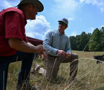
Farmer-to-farmer mentoring and soil-health specialists for tailored program delivery.
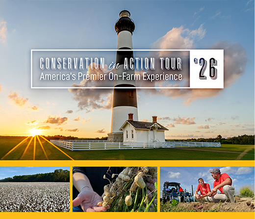
June 3-4, 2026 | Raleigh, North Carolina
Conservation in Action Tour
Join national leaders for farmer-led demonstrations, behind-the-scenes industry stops, and insights to scale conservation agriculture.
America’s Premier On-Farm Experience

Conservation Starts Here
Discover Financial Incentives and Technical Assistance For Your Unique Operation
Searchable database gives farmers, ranchers, and advisers a one-stop shop to easily find and evaluate conservation incentive programs and local technical support.
National Platforms, Local Impact
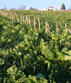
0+ million
Earned audience reached with tools, information, and advocacy for conservation management practices in 120+ farm media and mainstream outlets.
0k+
Acres of cover crops implemented in Minnesota, Wisconsin, and South Dakota with a target of 133k+ acres in 2027.0%+
Farmers reached in program areas with benefits of cover crops, conservation tillage, and other production methods that steward soil and water.
0+
Farmer-leaders engaged with in-person information and technical assistance at field days, workshops, farmer events, and 1:1 on-farm guidance.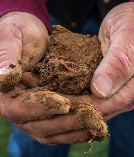
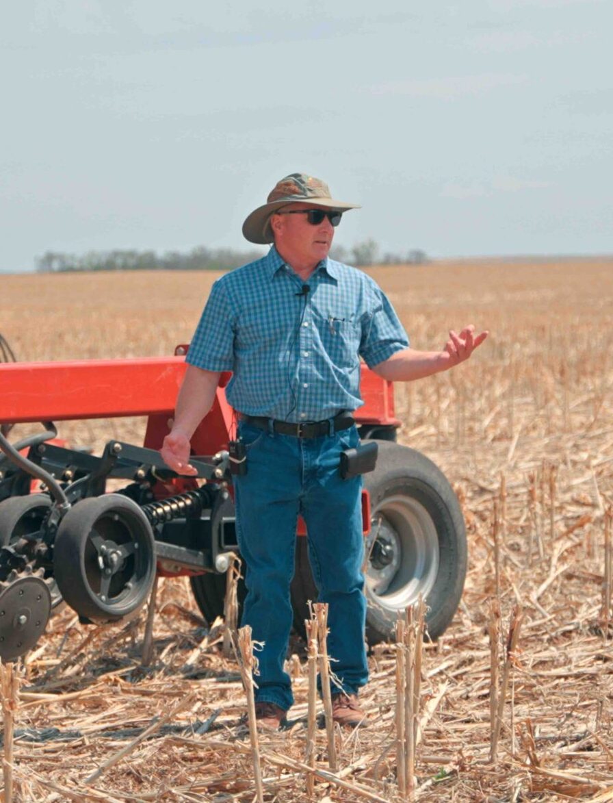
What our partners say



Satellite-Driven Data for Tracking Conservation
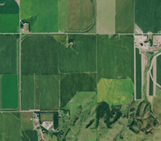
Croplands, Grasslands, and Livestock
Remote sensing-derived, CONUS-wide, field-level historical data on cropland practices, grassland metrics, and livestock emissions, including soil carbon and GHG outcomes based on application of the DNDC model.
FAQ
Donate
We help farmers transition to sustainable production methods.
Every contribution enriches soil, water, and habitat.
Support farmers. Shape our food systems. Nourish our future.

