
Using Satellite Imagery Data to Understand Trends in Conservation Agriculture Practices
Industry Resource
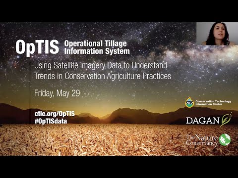
A webinar on OpTIS (Operational Tillage Information System), an automated system that uses satellite imagery data to understand trends in conservation agriculture practices.
Categories

Sign up for our Newsletter
June 2026 | Raleigh, North Carolina
Conservation in Action Tour | America’s Premier On-Farm Experience
Related News
Indiana’s Farm Advisors Mentoring Program Flattens Learning Curve for Regenerative Agriculture
If someone asked you to name five winners from this year’s Winter Olympics, could you identify them? But if someone asked about your five favorite teachers from your entire school career, could you name them immediately? Our favorite teachers–and their lessons–stick with us. So do lessons from mentors. Farm Advisors in Indiana recognizes the importance…

CTIC, SARE, and USDA Unveil 2026 Cover Crop Report at Farm Progress Show; Publish Webinar and Presentation
Results of the 2026 National Cover Crop Report indicate strong interest in cover crops among many farmers who produce a wide range of crops and livestock. Among respondents to the national survey, the average acreage planted with cover crops was 397.9, and their projections anticipate crossing the 400-acre mark by next year, a 33% increase…

2026 National Cover Crop Report Shows Continued Expansion Of Cover Crop Use, Including Cover Crop Grazing, Use Of Drones, And Planting Patterns
Farmers with 10+ years of experience help provide insights into incentive program design, monetization, and management practices that drive returns on investment. INDIANAPOLIS — Results of the 2026 National Cover Crop Report released Sept. 1 at the Farm Progress Show indicate strong interest in cover crops among many farmers who produce a wide range of…