Viridis View | Conservation Benchmarking Collaborative
Project

Publicly Available Spatial Datasets to Track National Adoption of On-Farm Conservation
Conservation in agricultural systems is at a pivotal moment, with a multi-year decline in commodity prices and a stressed ag economy, generational turnover in farm operations, federal funding pauses, contract cancellations, and new program rollouts. Recent years have seen major changes in the scale and sources of new public and private investments to promote the adoption of regenerative practices, including a $700 million announcement from USDA in December 2025. However, the most recent USDA AgCensus (published in early 2024) suggests that the rate of adoption of one key practice, cover crops, has actually slowed in recent years.
Despite the significant public and private investments into promoting and incentivizing the adoption of conservation practices, stakeholders are currently limited to the AgCensus (released only once every five years) to learn whether the investments have moved the needle at the landscape level. Collectively, the nation invests billions of dollars in such practices, but are we making sufficient progress in the key geographies at the rate needed to accomplish visionary goals?
The Viridis View Conservation Benchmarking Collaborative is underway to help answer this critical question. CTIC and its partners feel that there is an urgent need for greater collaboration across the entire conservation and ag tech community, including data scientists now using machine learning and other advanced methods to process remote sensing data in order to track conservation trends in near real-time.
Viridis View Workshop Lays Foundation for Updated, Public Data for Conservation Ag
On June 3 in Raleigh, CTIC hosted a workshop to launch the Viridis View Conservation Benchmarking Collaborative. The event was attended by 50 experts representing academia, conservation groups, and tech startups, as well as state and federal government agencies.
Viridis View has two primary objectives:
- Provide near-real-time, public datasets of county-level adoption of conservation tillage and cover crops from 2015-2030 featuring remote sensing-based estimates from multiple groups across several geographies.
- Collaboratively and pre-competitively improve the accuracy of these estimates by assembling accessible ground-truthing datasets.
Ryan Heiniger (CTIC) and Dr. Chris Reberg-Horton (North Carolina State University, NCSU) opened the workshop, welcoming attendees and recognizing co-hosts and co-organizers, including the Walton Family Foundation, Foundation for Food & Agriculture Research, The Nature Conservancy, and NCSU.
Dean Hively (USGS) provided context on the importance of remote sensing for conservation tracking, explaining how satellite data can support multiple important environmental goals and regulatory frameworks.
Presentations were then provided by five teams that had responded to CTIC’s invitation to offer county-level tracking estimates on the adoption of cover crops and conservation tillage, all based on processing of remote sensing imagery: DTN, Iowa State University, Indigo, Regrow, & Terra Diagnostics. A presentation was also given by the University of Maryland/NASA Acres on their offer to make their Confidential Clean Room technology available to the collaborative.
Dave Gustafson (CTIC) presented a sketch proposal on how the multiple county-level estimates could be presented on the CTIC website. Dean and Ryan facilitated a discussion on obstacles and opportunities for collaboration on the assembly of accessible ground-truthing data for the purpose of improving estimates and potentially also for independent validation of the various methods.
Current Projects
Past Projects

Sign up for our Newsletter
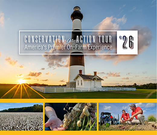
June 2026 | Raleigh, North Carolina
Conservation in Action Tour | America’s Premier On-Farm Experience
Related News
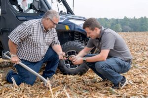
Indiana’s Farm Advisors Mentoring Program Flattens Learning Curve for Regenerative Agriculture
If someone asked you to name five winners from this year’s Winter Olympics, could you identify them? But if someone asked about your five favorite teachers from your entire school career, could you name them immediately? Our favorite teachers–and their lessons–stick with us. So do lessons from mentors. Farm Advisors in Indiana recognizes the importance…

CTIC, SARE, and USDA Unveil 2026 Cover Crop Report at Farm Progress Show; Publish Webinar and Presentation
Results of the 2026 National Cover Crop Report indicate strong interest in cover crops among many farmers who produce a wide range of crops and livestock. Among respondents to the national survey, the average acreage planted with cover crops was 397.9, and their projections anticipate crossing the 400-acre mark by next year, a 33% increase…

2026 National Cover Crop Report Shows Continued Expansion Of Cover Crop Use, Including Cover Crop Grazing, Use Of Drones, And Planting Patterns
Farmers with 10+ years of experience help provide insights into incentive program design, monetization, and management practices that drive returns on investment. INDIANAPOLIS — Results of the 2026 National Cover Crop Report released Sept. 1 at the Farm Progress Show indicate strong interest in cover crops among many farmers who produce a wide range of…