CHAMPION
We demonstrate and advocate for conservation agriculture from the field to the halls of government.
We demonstrate and advocate for conservation agriculture from the field to the halls of government.
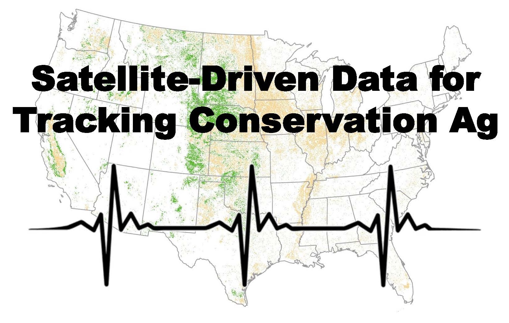
CTIC has partnered with Regrow and The Nature Conservancy on the development, testing and application of the Operational Tillage Information System (OpTIS), an automated system to map tillage, residue cover, winter cover, and soil health practices using remote sensing data. While OpTIS calculations are performed at the farm-field scale using publicly available data, the privacy of individual producers is fully protected by reporting only spatially-aggregated results at regional and watershed scales.
OpTIS-based data are currently available for the years 2015 through 2021. The Version 4.0 dataset released in September 2023 uses updated algorithms for croplands in all lower 48 states (CONUS). Both the OpTIS and DNDC pages include charts and maps to further enhance identification of trends and opportunities to promote the adoption of conservation practices. The OpTIS data are available for Croplands and a companion product is now available for Grasslands, for the same geography (CONUS) and time period (2015-2021). As with previous releases, all data are undergoing various forms of peer review and may be updated in the future.
Some of the organizations that have supported the development of OpTIS have included USDA, NASA, Bayer, Corteva, Enterprise, Ecosystem Services Market Consortium, Foundation for Food & Agriculture Research, Howard G. Buffet Foundation, John Deere, Monsanto, The Mosaic Company, The Nature Conservancy, Simplot, Soil Health Partnership, Syngenta, Walmart Foundation, and Walton Family Foundation.
Both the Croplands (OpTIS) and Grassland systems produce spatially comprehensive maps of tillage, crop residue cover, winter cover, and soil health practices using information integrated from multiple earth-observing satellites. Click either of the links below for detailed reports on the Croplands (OpTIS) or Grasslands methodology.
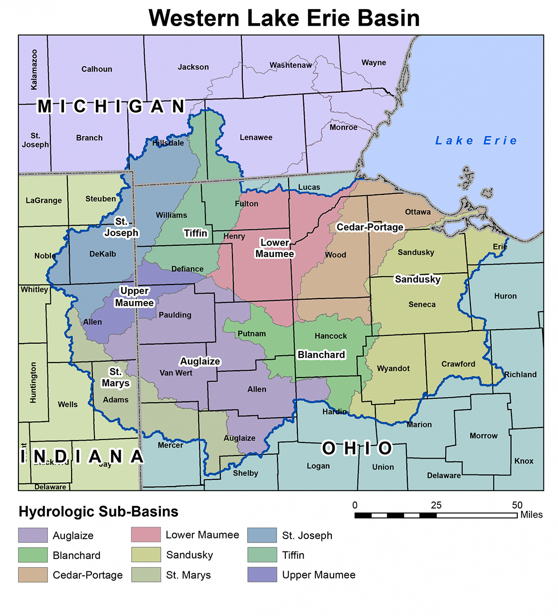
CTIC is leading a new effort to pilot a phosphorus load reduction market in the Western Lake Erie Basin (Maumee, Sandusky, and Cedar-Portage watersheds, see map). Growers within the indicated watersheds are now being sought to participate in this pilot market.