Introduction - Explore The Data
Explore The Data
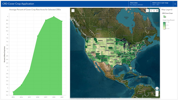
Croplands
The available data include the level of adoption of cover crops and conservation tillage practices, as well as soil and GHG outcomes based on the use of this practice-adoption data as input to the DNDC model. Access to these conservation practice data by crop rotation is available to registered users.
Learn More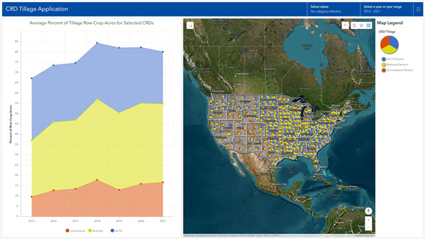
Grasslands
Remote sensing-derived, CONUS-wide grazing land metrics calculated from data spanning 2015–2021.
The available data include various vegetation type and health metrics, as well as soil and GHG outcomes based on the use of this information as input to the DNDC model.
Learn More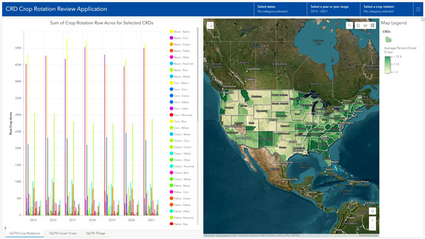
Log in for Data Access
Log in for Data access to learn more about....
Duis aute irure dolor in reprehenderit in voluptate velit esse cillum dolore eu fugiat nulla pariatur. Excepteur sint occaecat cupidatat non proident, sunt in culpa qui officia deserunt mollit anim id est laborum.
Log-in